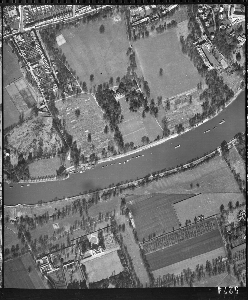
When the Research Group first gathered to share ideas and current knowledge of the role Marble Hill played in the World Wars, there was discussion about a public air raid shelter that was thought to have been in the Park in the Second World War. An initial Internet search found a report by Historic England that discounted the idea that an anomaly found on a 1946 RAF Aerial photograph was a public air raid shelter. Further detail can be found on page. 59 of the report, which also includes plenty of other interesting information on Marble Hill House and Park:
You can find the document on this link.
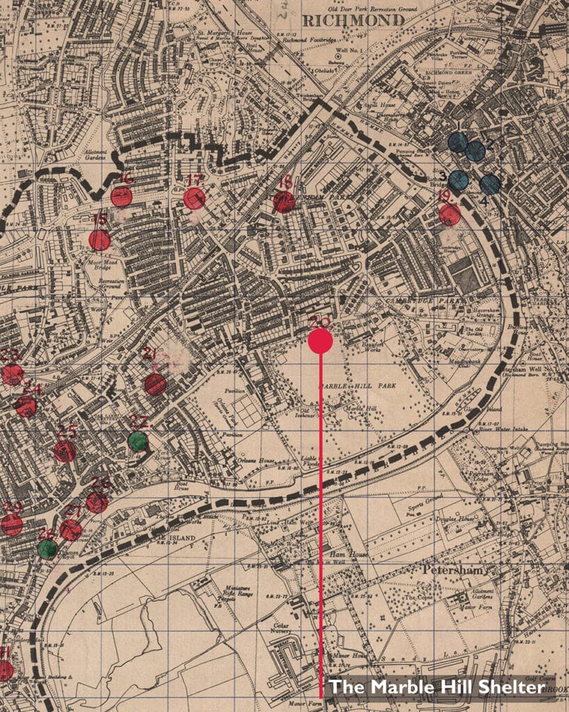
Not to be deterred by the report, the volunteers went on a hunt at Richmond Local Studies archive and came across a post-war map of the air raid shelters that were built to keep people safe from aerial bombardment. There was the Marble Hill Park shelter, marked out on the northernmost point of Marble Hill Park, opposite the Rising Sun Pub! There were some trenches as well, but it has not yet been possible to locate these.